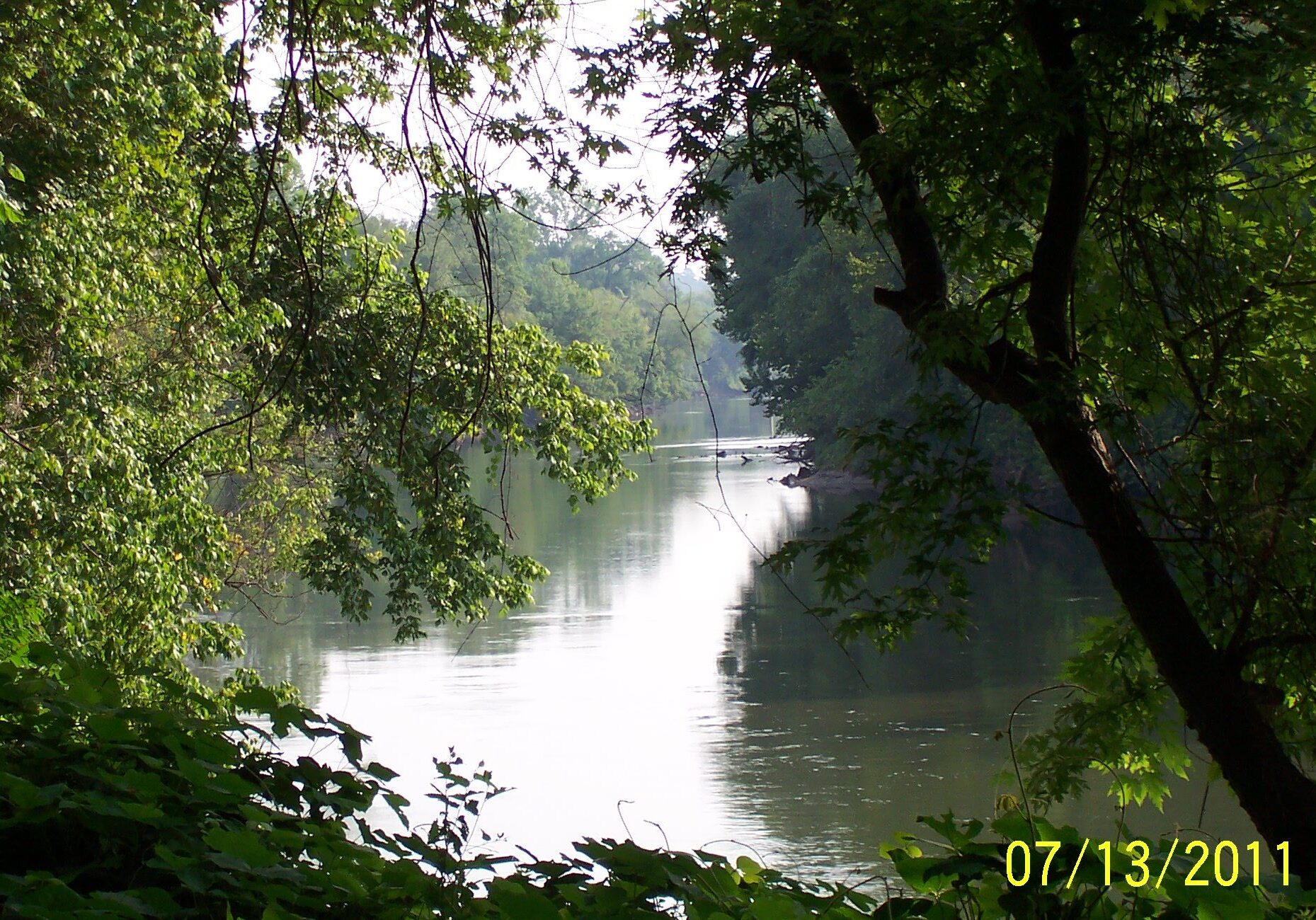
to view the 6 miles of Chattahoochee River
that borders
The River Line Historic Area
Planning The Chattahoochee River's Future
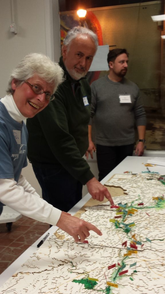
Roberta Cook, Executive Director of The River Line Historic Area, points to the Historic Area on the 100 mile Chattahoochee River map.
The River Line Historic Area
is a stakeholder in the 125-mile
Chattahoochee RiverLands Study
More Information
The Chattahoochee RiverLands web site
To learn about the comprehensive 125 mile Chattahoochee RiverLands Study, play the 1 hour webinar recorded by the Atlanta Regional Commission.
The Cobb County Department of Transportation will be constructing the Chattahoochee RiverLands Pilot Site Trail from Mableton Parkway to Veterans Memorial Hwy. Click Trails for details.
Working Together with The Chattahoochee Riverkeeper
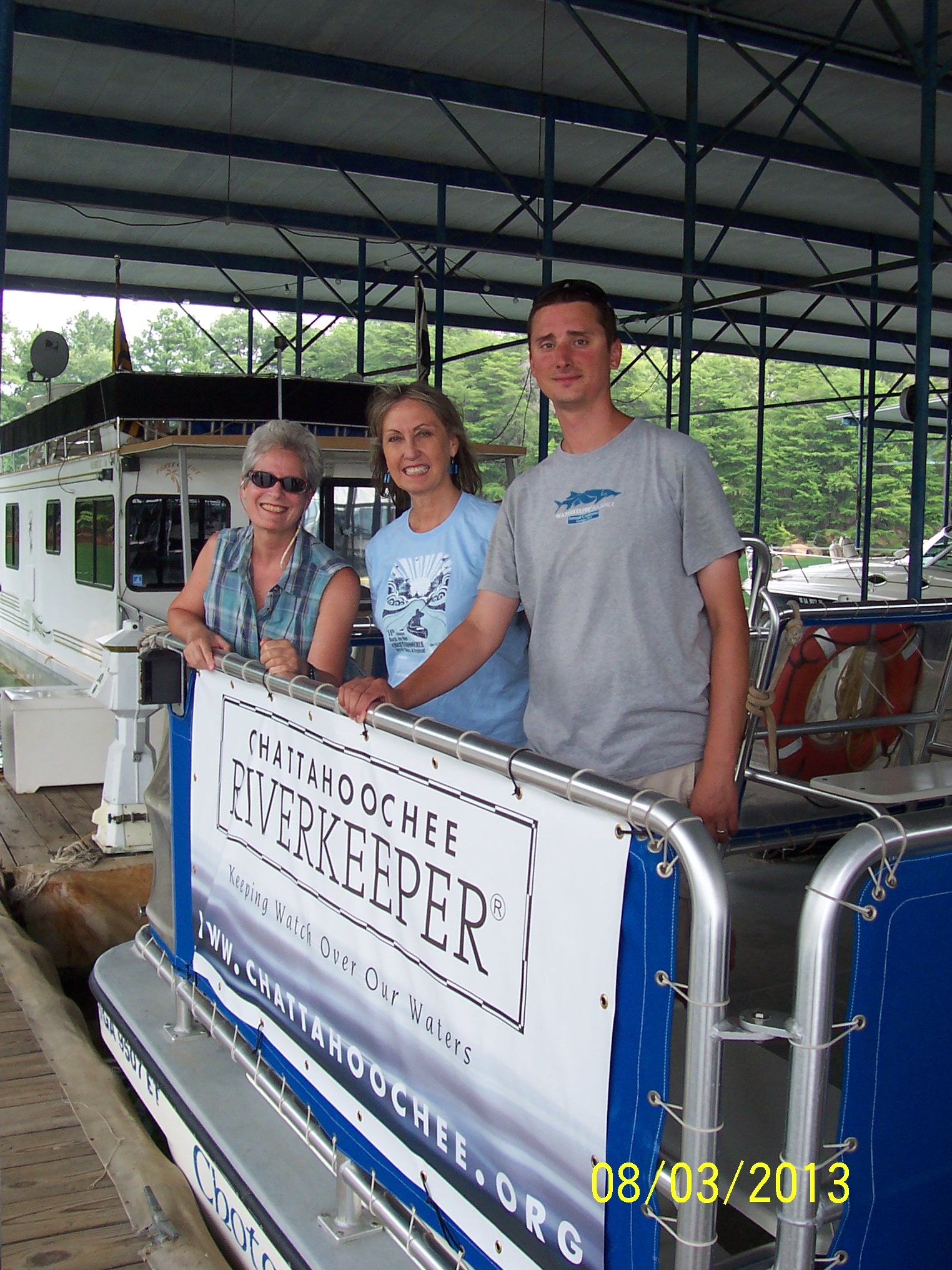
Roberta Cook
The River Line Historic Area Executive Director
Sally Bethea
Former Chattahoochee Riverkeeper
Jason Ulseth
Current Chattahoochee Riverkeeper
River Line Historic Area Water Collection Crew
Nickajack Creek water samples from 3 locations
Laurel Lake - Nickajack Park - Discovery Blvd.
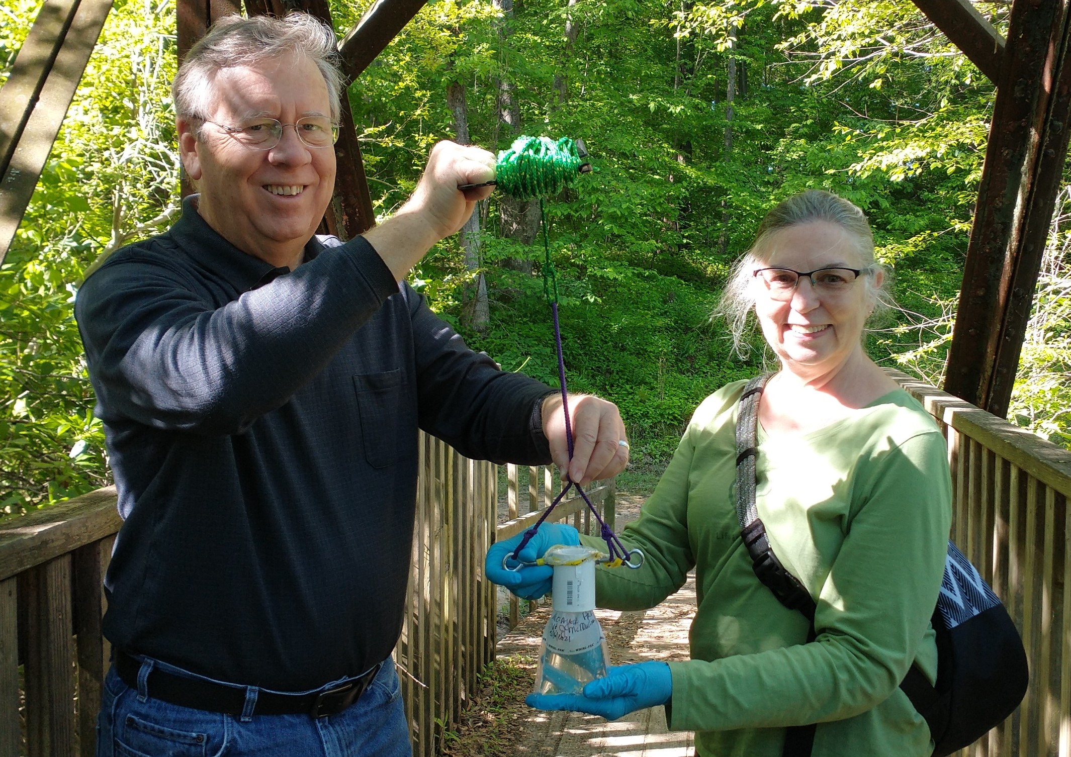
James & Valerie McMullian
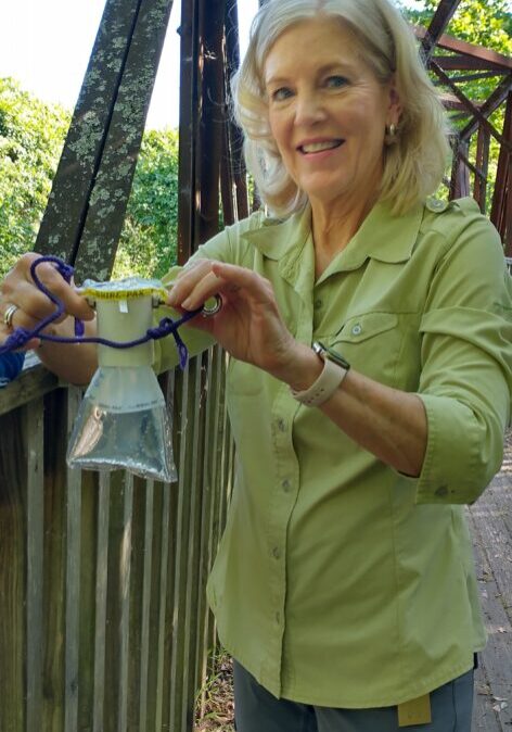
Anna Gillon
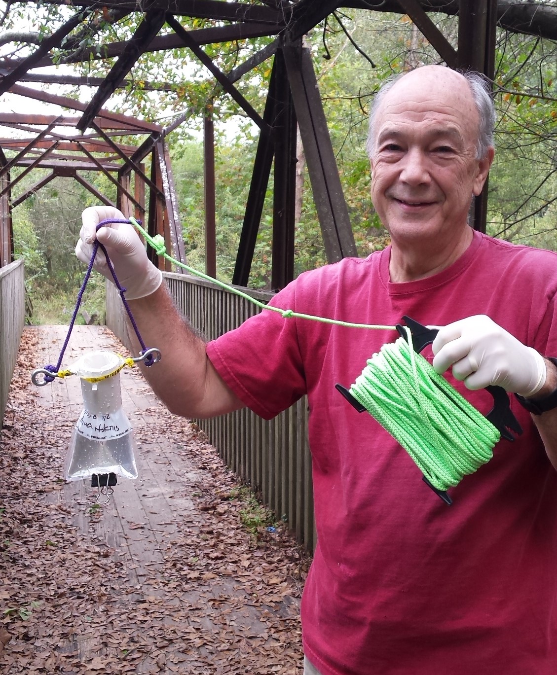
Chuck Hoskins
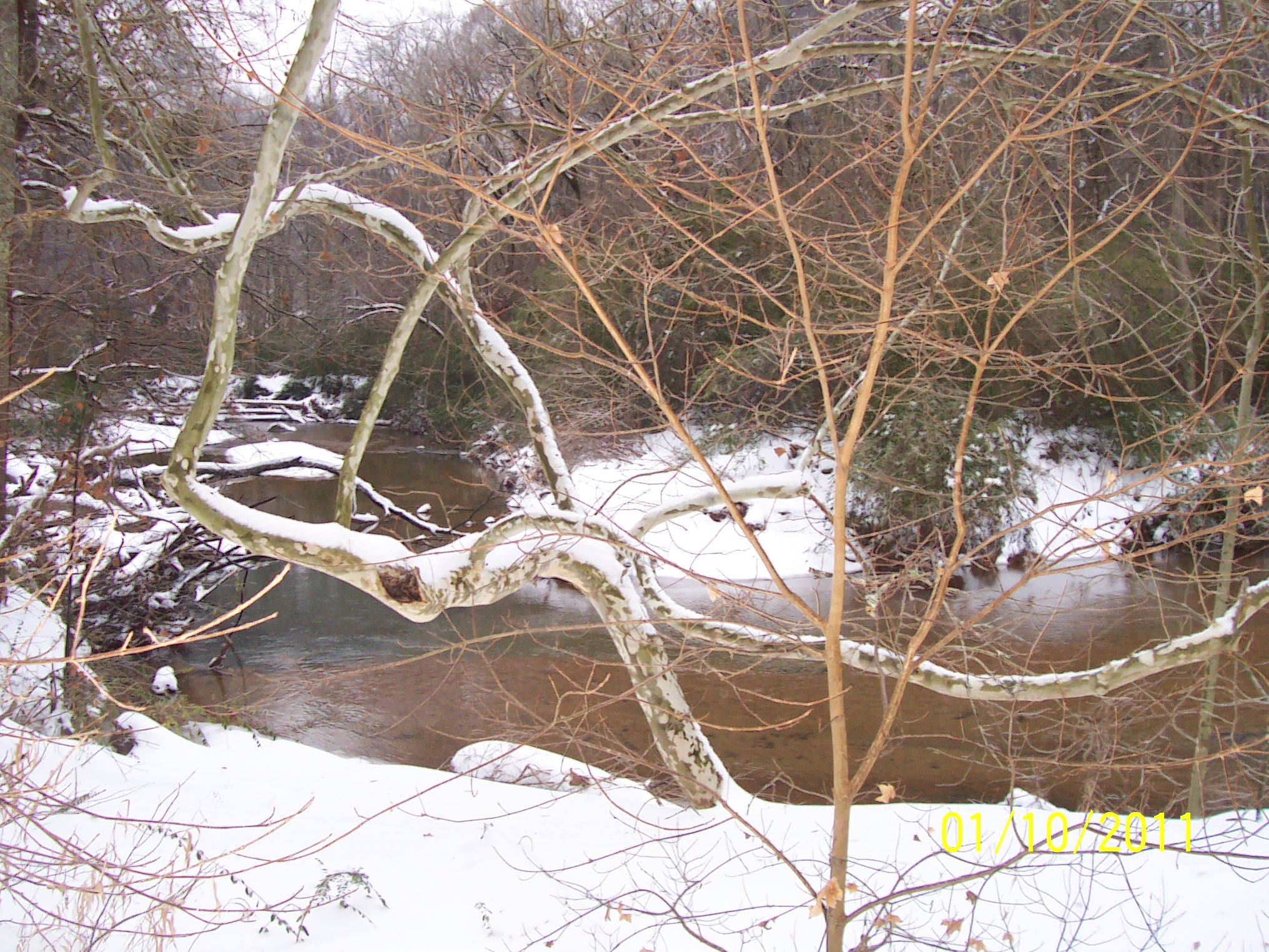
Winter scene of Nickajack Creek
The River Line Historic Area, Inc.
participates in
The Chattahoochee Riverkeeper
- Click here to view the 3 minute video.
- Find our water monitoring sites on Nickajack Creek
-
Track Nickajack Creek water levels using the USGS real-time monitoring station at Veterans Memorial Hwy., which collects daily stream data.
