The National Register of Historic Places in
The River Line Historic Area
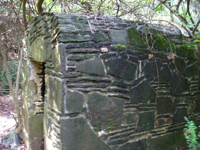
The Carmichael Farm was razed to build the Olde Ivy gated community, but the spring house (pictured) and 1 Shoupade Civil War Fort remains. (updated April 2021)
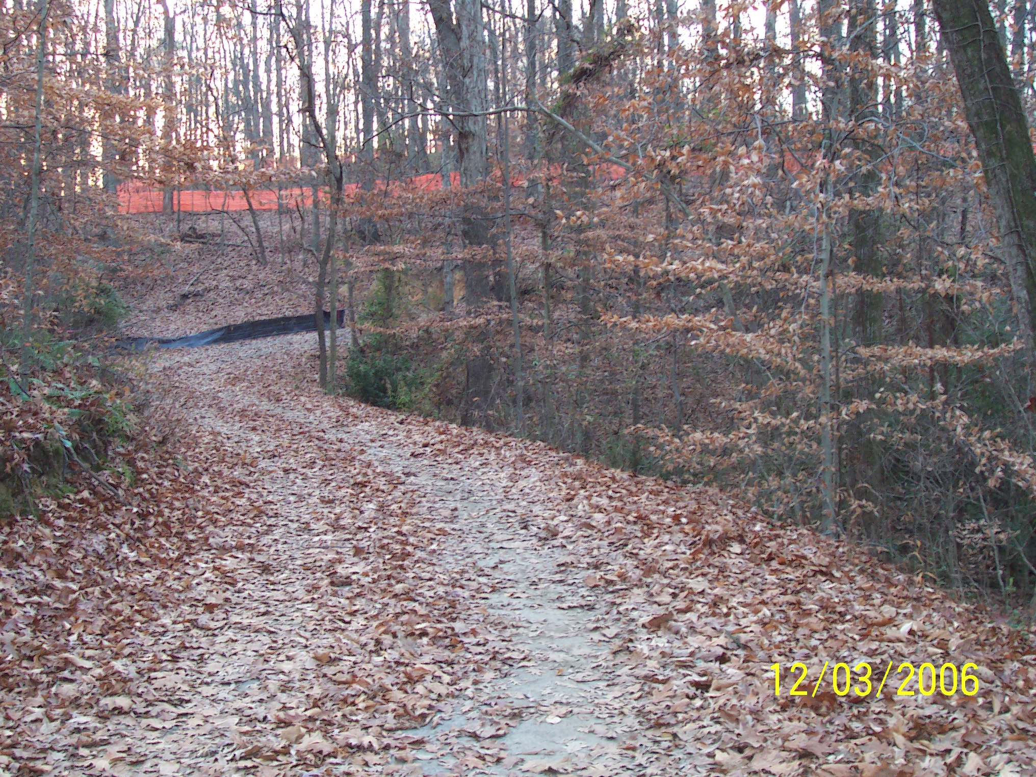
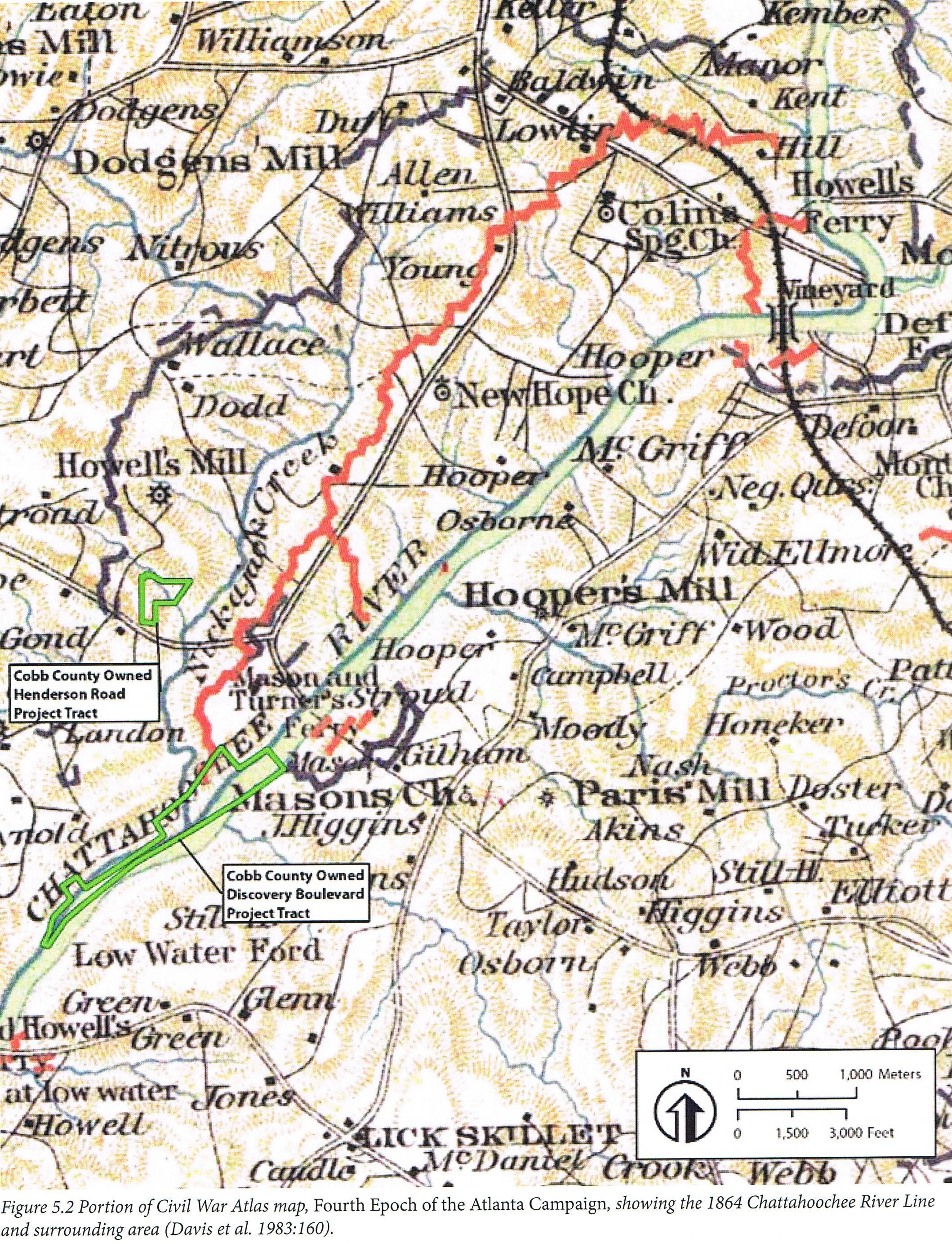
The 30 acres of assembled land at Henderson Road was acquired by Cobb County using passive park funding. 24 of the 30 acres is listed on the National Register of Historic Places for its preservation of Civil War fortifications. It also contains a Howell's Mill waterfall dam. This park is not yet open to the public. The Park master plan awaits funding (updated April 2021)
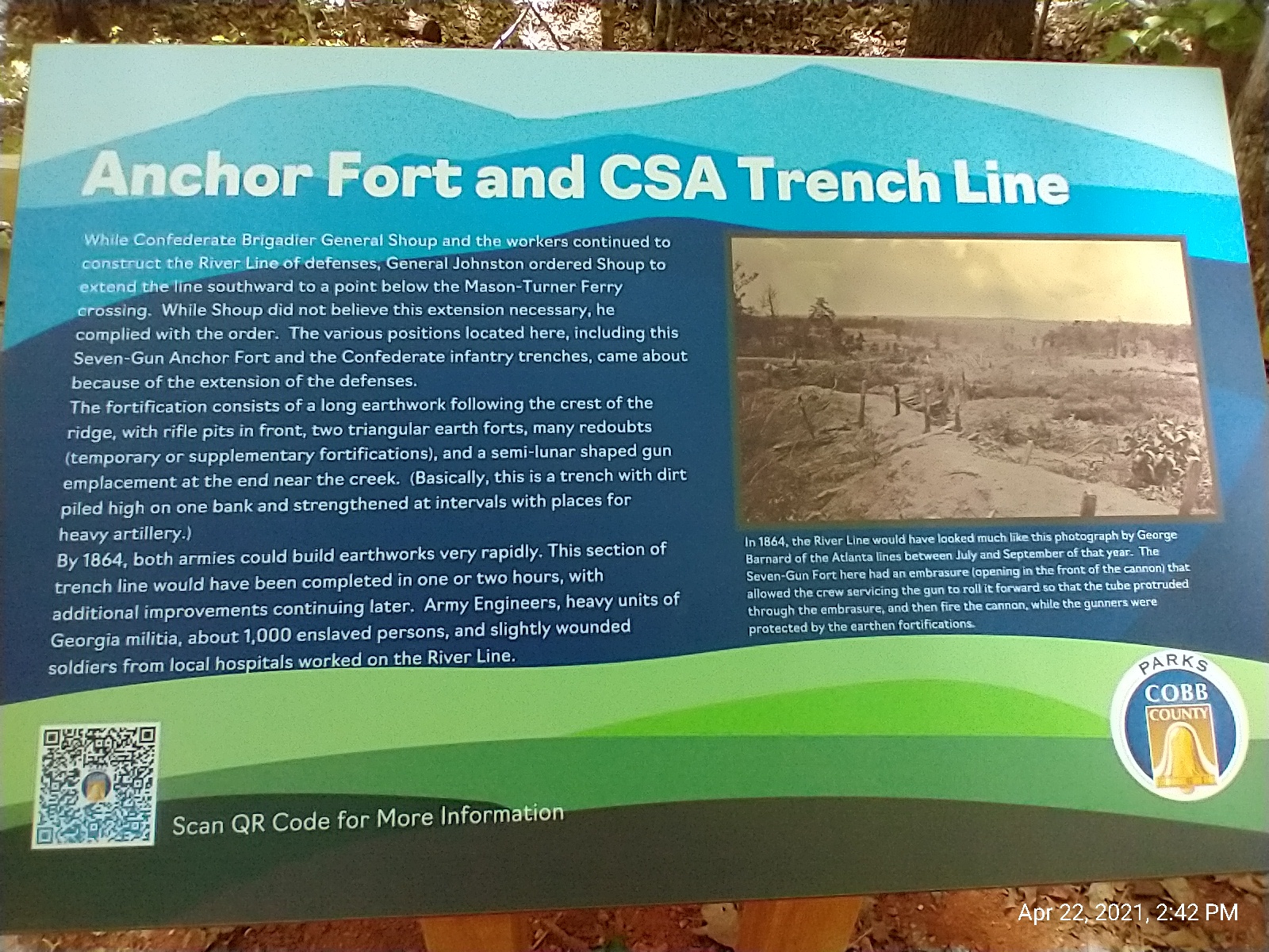
Thanks to Cobb County and The National Register of Historic Places designation, 80 acres of the 6-mile Johnston's River Line was spared from development. In March 2021 the historic nature park opened to the public under the name of Discovery Park at The River Line. This 80 acre National Register site is the largest in-tact battlefield remaining from the entire Chattahoochee River Line Battlefield. Click here for more park details and a link to the park's virtual tour! (updated April 2021)
1832
Cobb County
Land Lottery
Prior to 1832 the Cherokee Indians occupied Cobb County. Cobb County is divided by Districts and further subdivided by land lots. The River Line Historic Area involves land from both the 17th and 18th Districts and the number of 40 acre land lots are numerous and have yet to be counted.
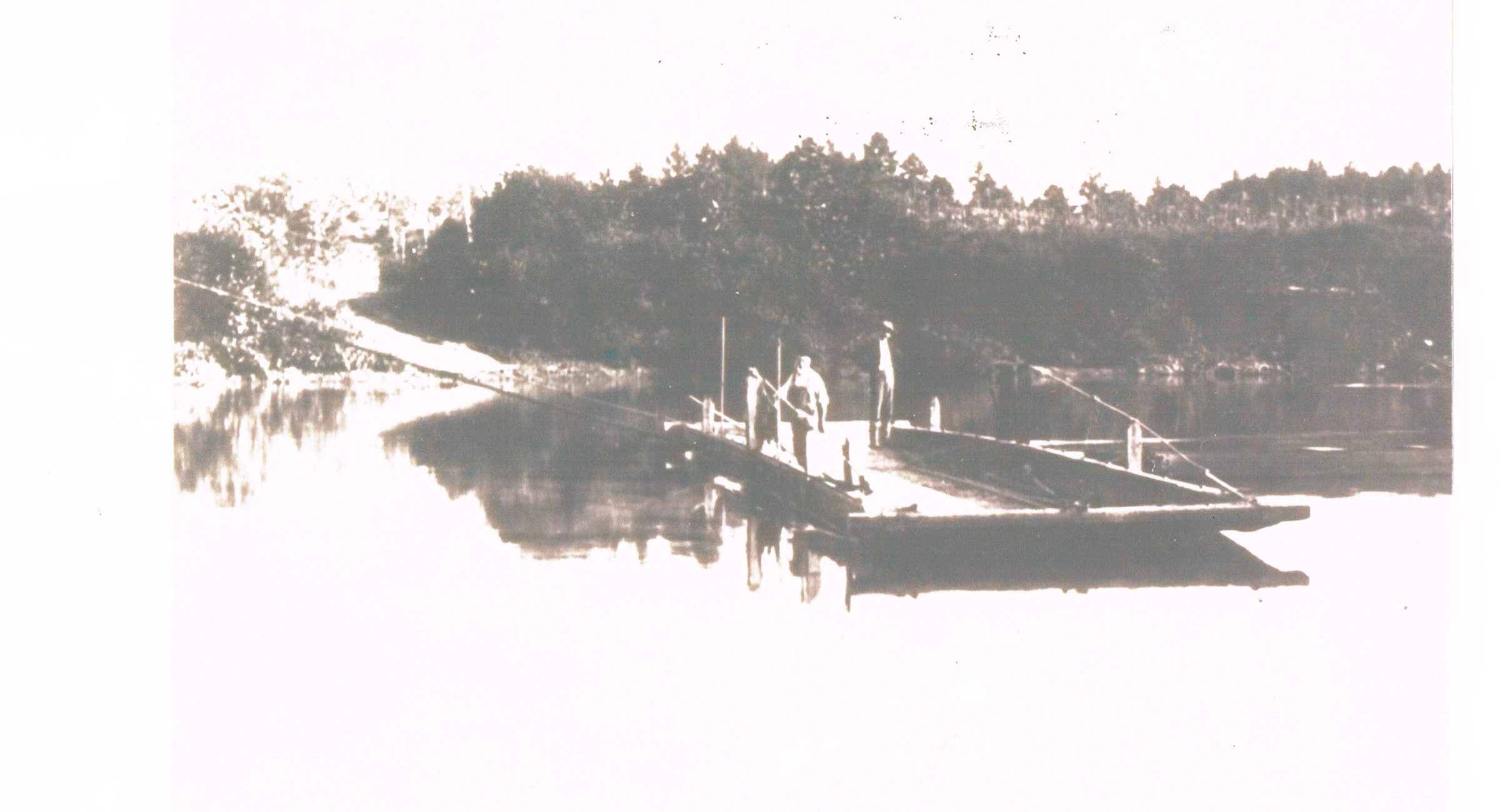
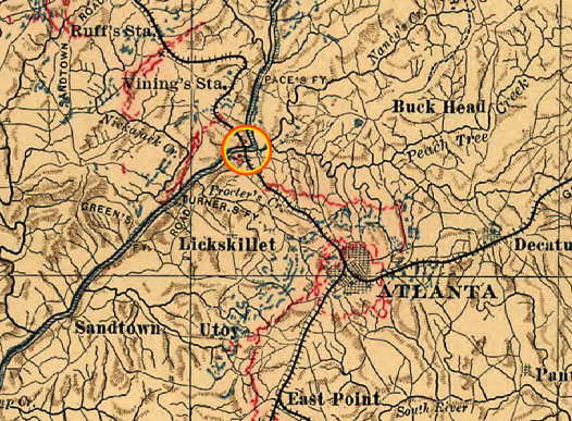
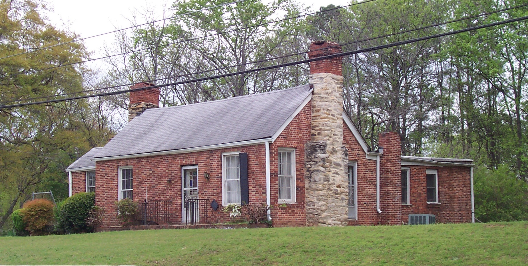
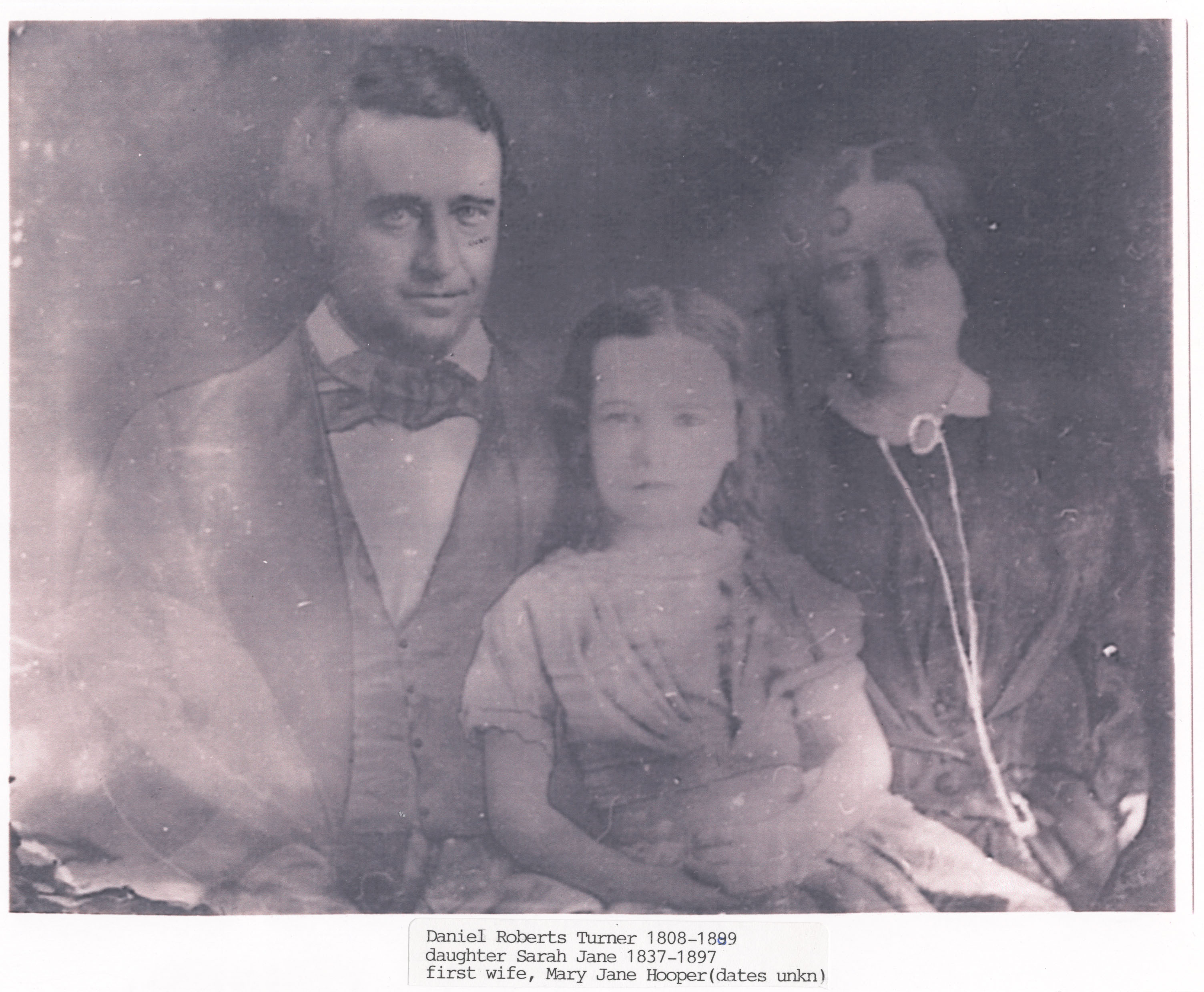
1883 Thomas Hooper Jr. sells the property at 5811 Oakdale Rd. to John H. Turner, oldest son of Daniel Turner, the ferry owner. Although this 1850's period hall and parlor style house has been updated over time, it stood on Oakdale Rd. until it was demolished by the City of Smyrna on 2/18/2015. The house was known through oral history by community seniors as a Civil War hospital, but without supporting documentation. If you have info on this house, please "contact us".
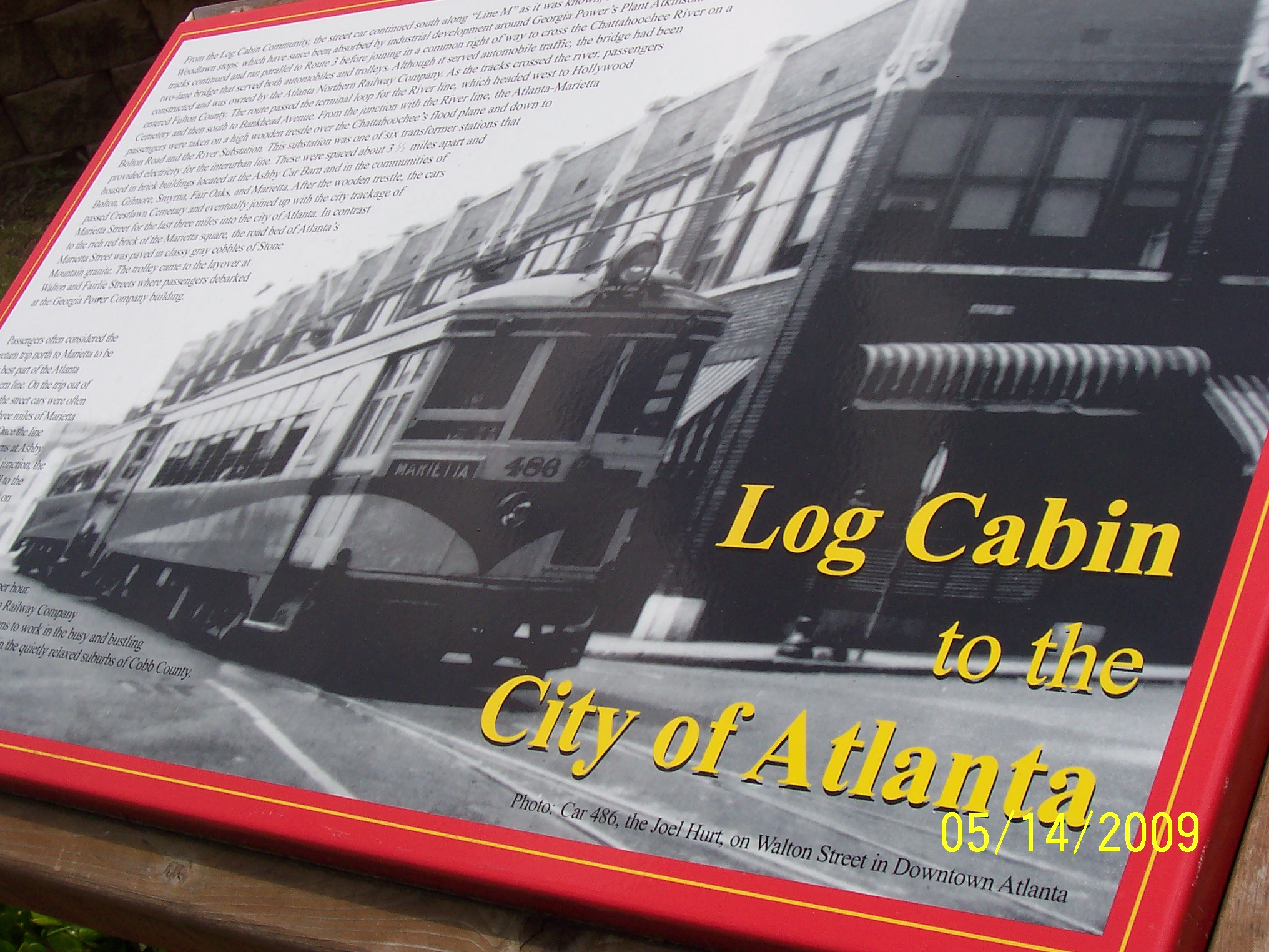
The Atlanta Northern Railway Company operated an electric street car service between Atlanta and Marietta Square with a stop at Carmichael's General Store, now the location of Trolley Line Park.
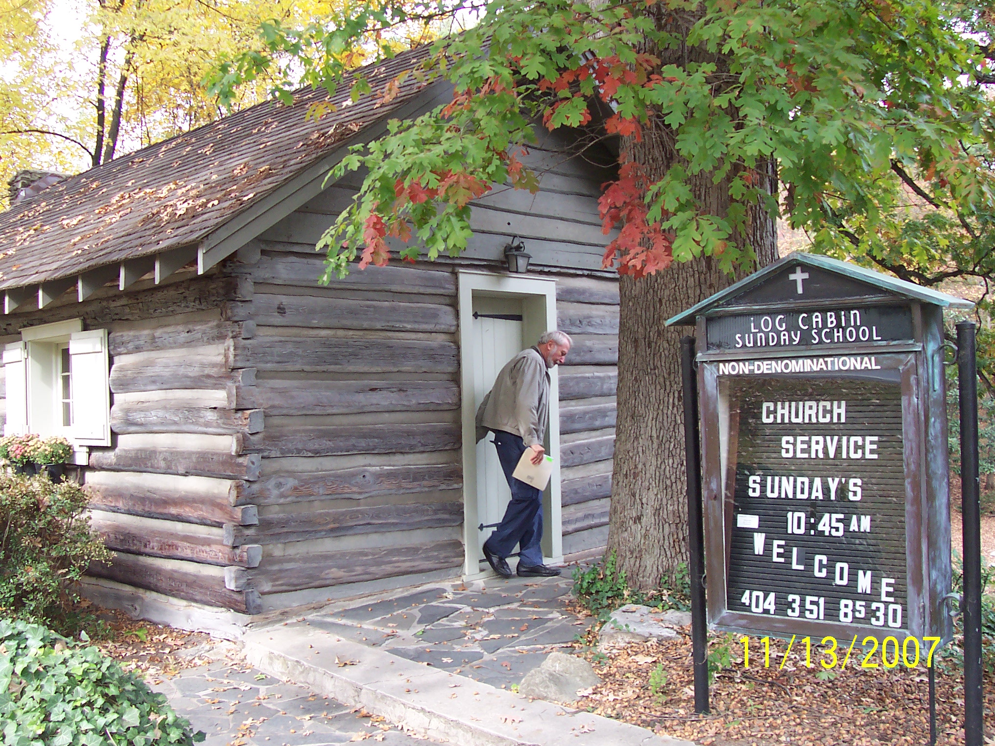
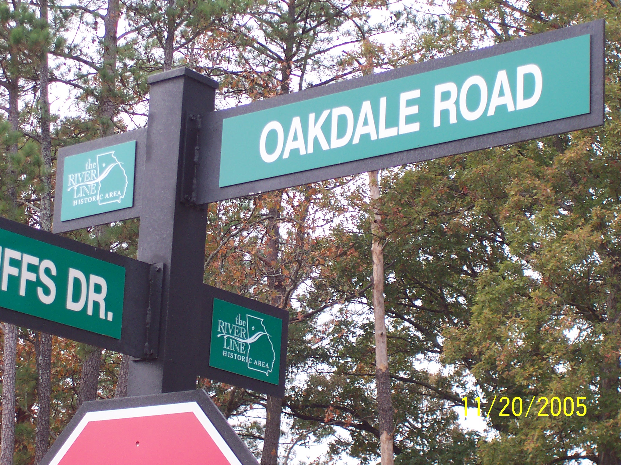
2005 The River Line Historic Area
logo is publicly displayed for the first time on street signs at The Enclave at Oakdale and Oakdale Bluffs neighborhoods.
