Neighborhoods in The River Line Historic Area embracing historic resources to unite the community as a place of distinction linking Vinings, Smyrna and Mableton, Georgia.


Woodland Preserve
Vinings, Woodland Brook Rd. and Atley Woods Dr. (previously Settlement Rd.)
- Artillery Fort
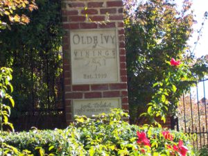
Olde Ivy at Vinings
- Shoupade Fort & trench
- Carmichael Farm Spring House
- Carmichael Farm - National Register of Historic Places
(North) Oakdale Road and Fort Drive
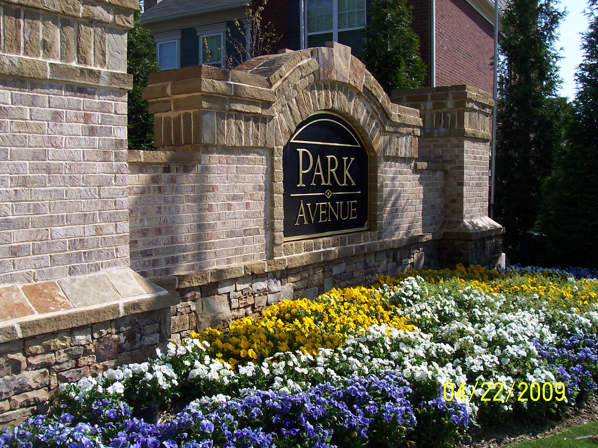
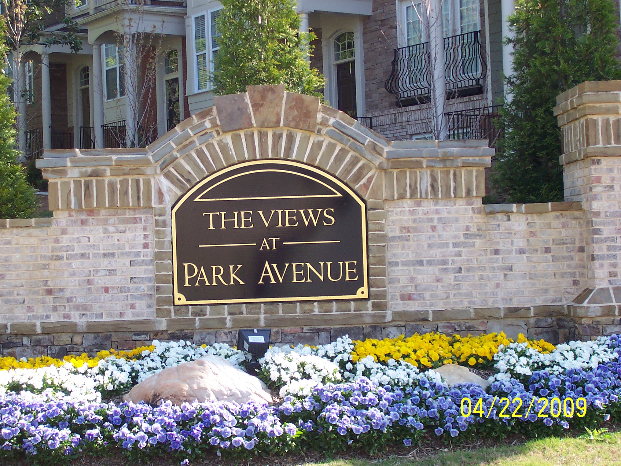
Park Avenue &
The Views
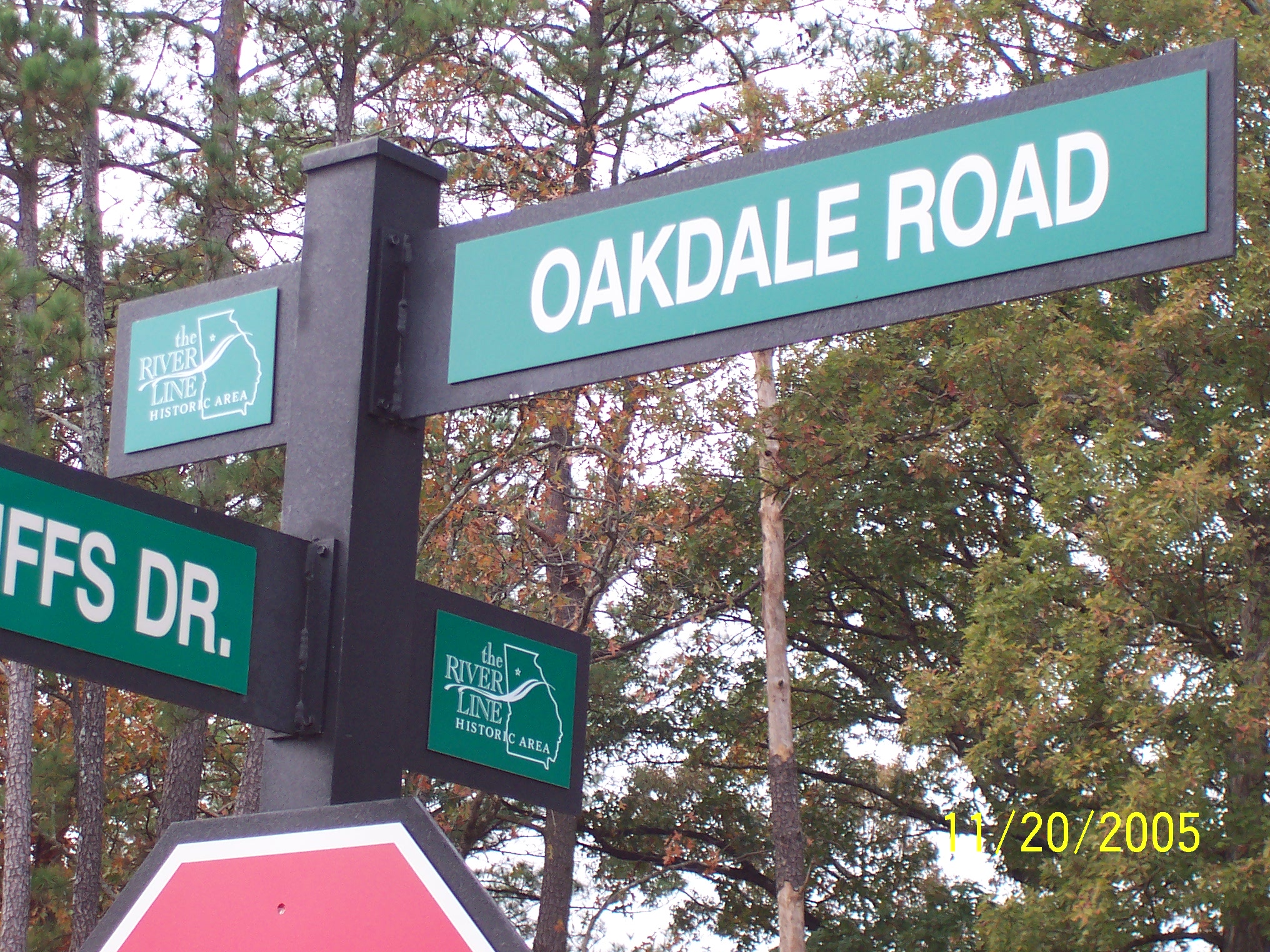
- River Line Historic Area street signs
- Shoupade Park - 2 shoupades and 1 artillery redan with connecting trenches
- Pulte 2 page Living w History
- Cannon donated by Easlan Capital (not yet installed)
-
- River Line Historic Area street signs
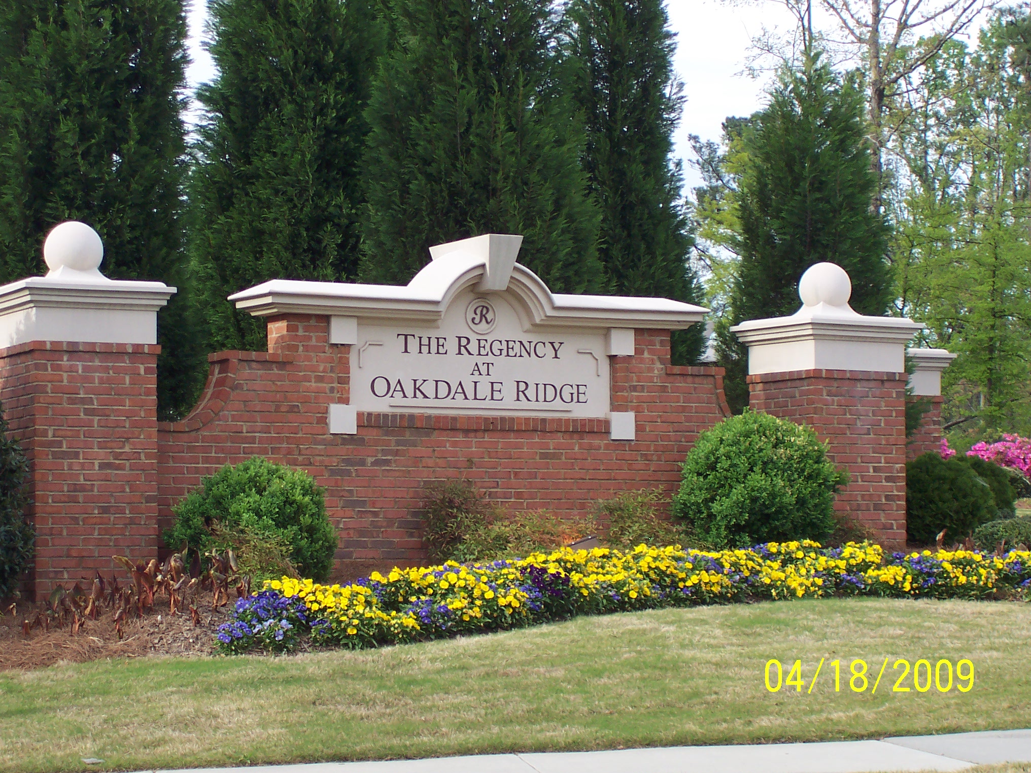
The Regency at Oakdale Ridge
(South) Oakdale Road
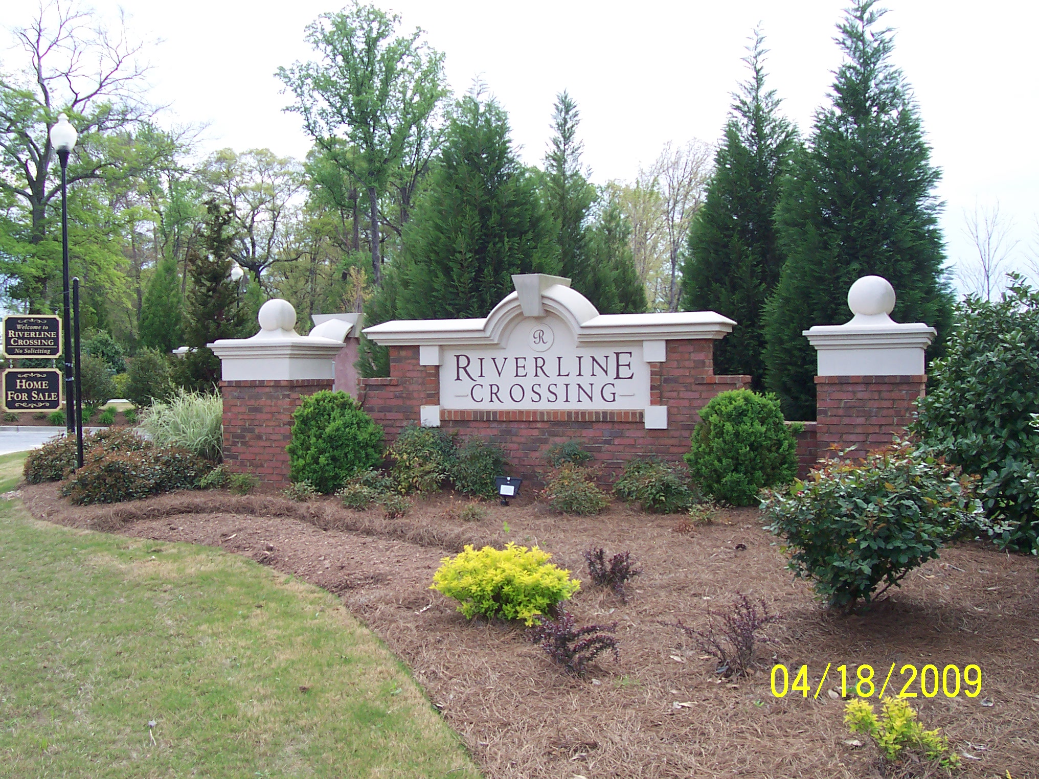
(South) Oakdale Road
River Line Crossing
- Subdivision named for historic area
- 2 fortifications preserved
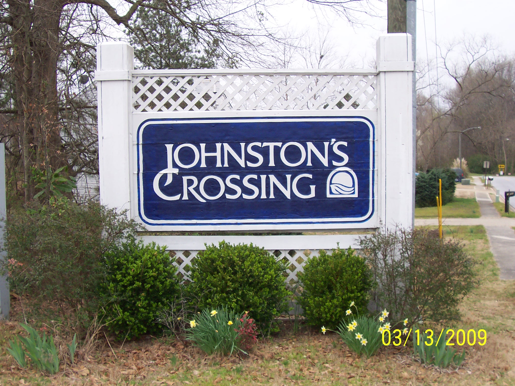
(South) Oakdale Road at Roberts Drive
- Subdivision named for historic area
Johnston's Crossing
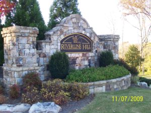
- Historic subdivision name
- RLHA logo featured on entrance monument
- Historic streets: Sharp Drive & Abatis Way
- Historic interpretive sign at entrance
- 3 rifle pits preserved
River Line Hill
(South) Oakdale Road
Enclave at Oakdale & Oakdale Bluffs
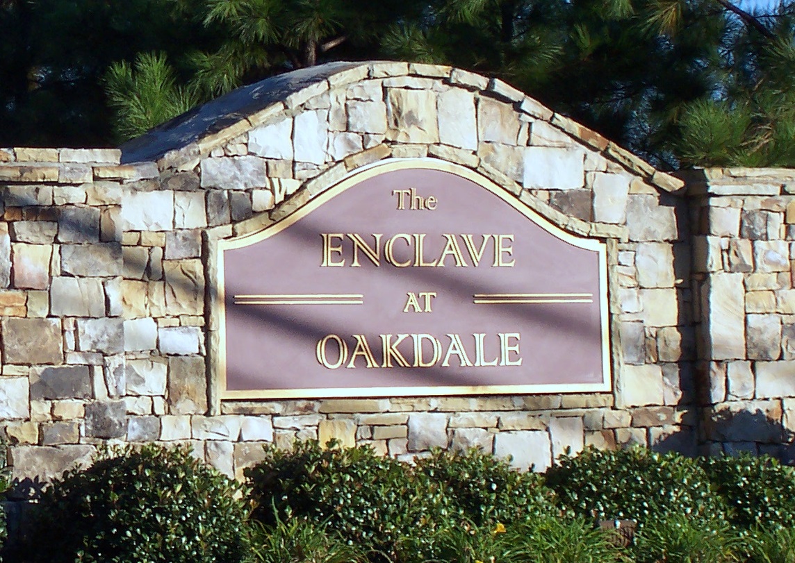
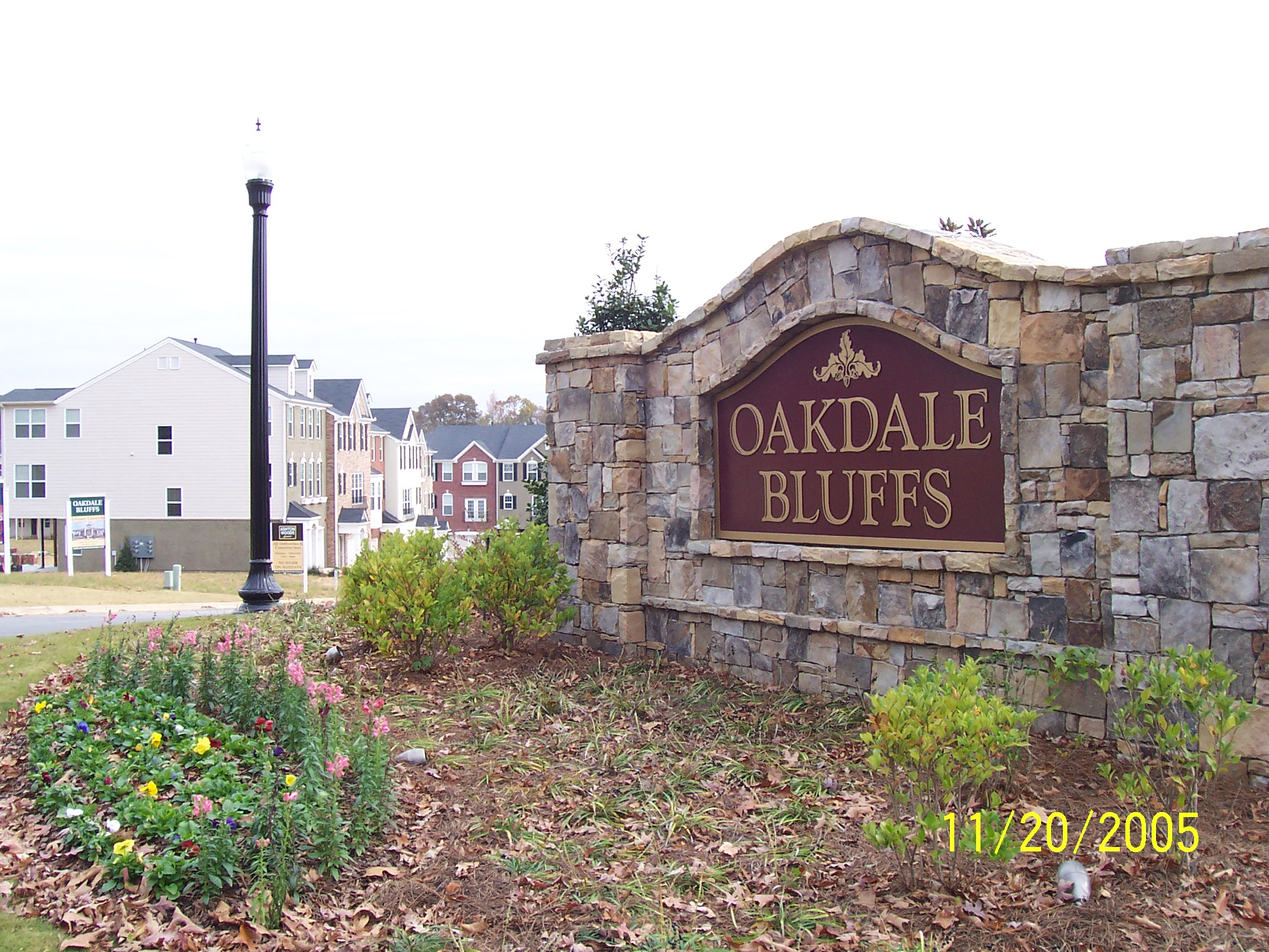
(South) Oakdale Road between Dickerson Road and Veterans Memorial Hwy.
- River Line Historic Area street signs
- Shoupade preseved, fenced with interpretive sign and accessible to the public at the City of Smyrna's River Line Park.
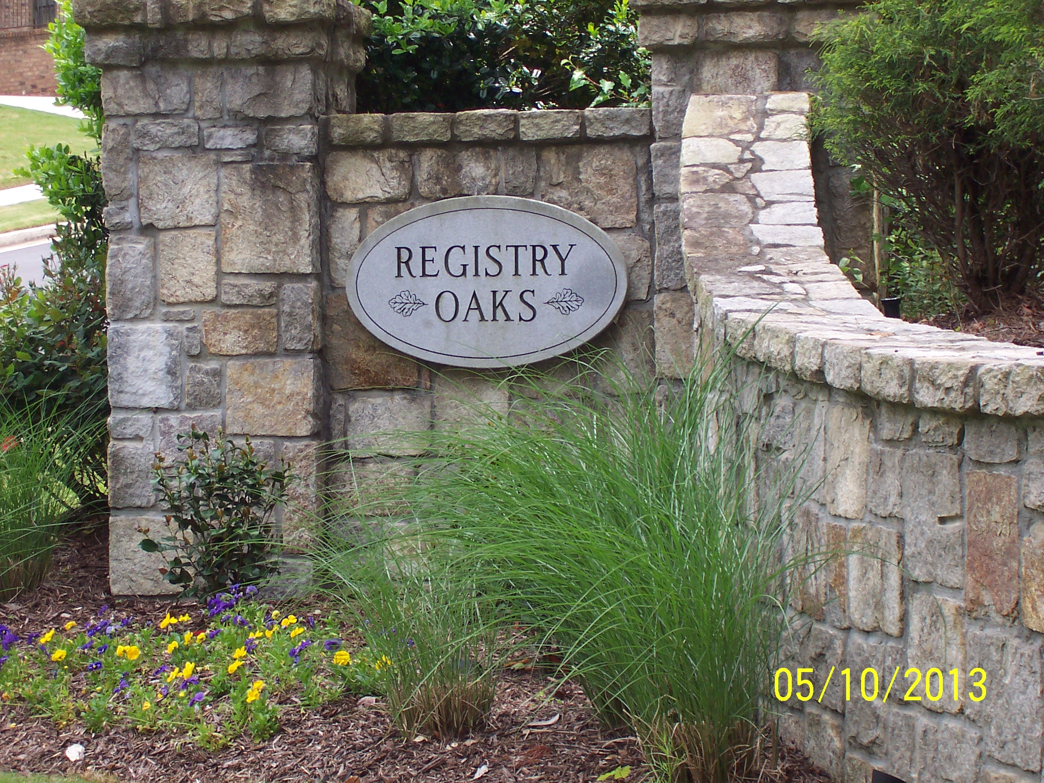
- Federal trench preserved. (No public access)
Registry Oaks
Buckner Road
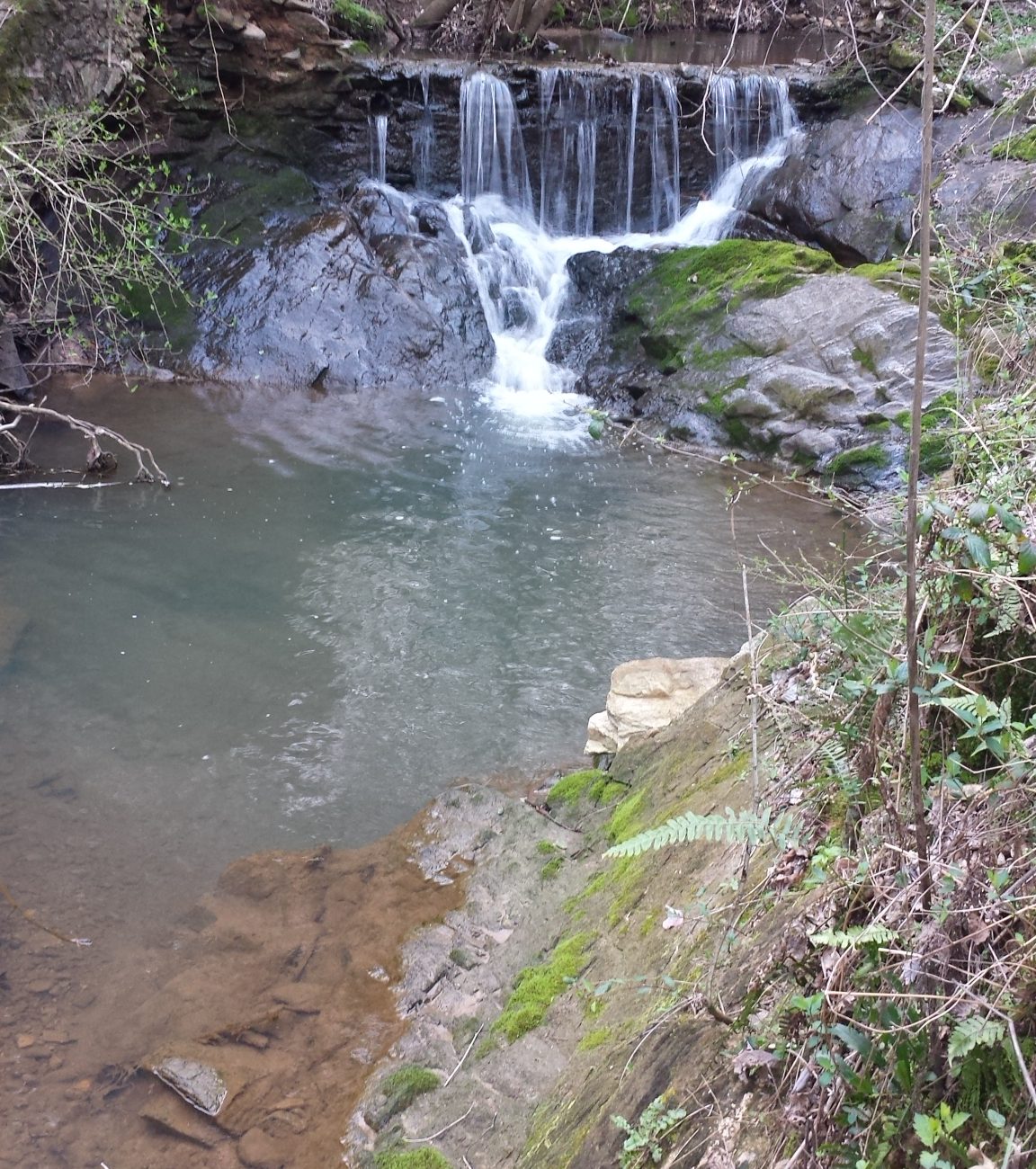
- Mill Dams
Brookmere
Buckner Road
Legacy at The River Line
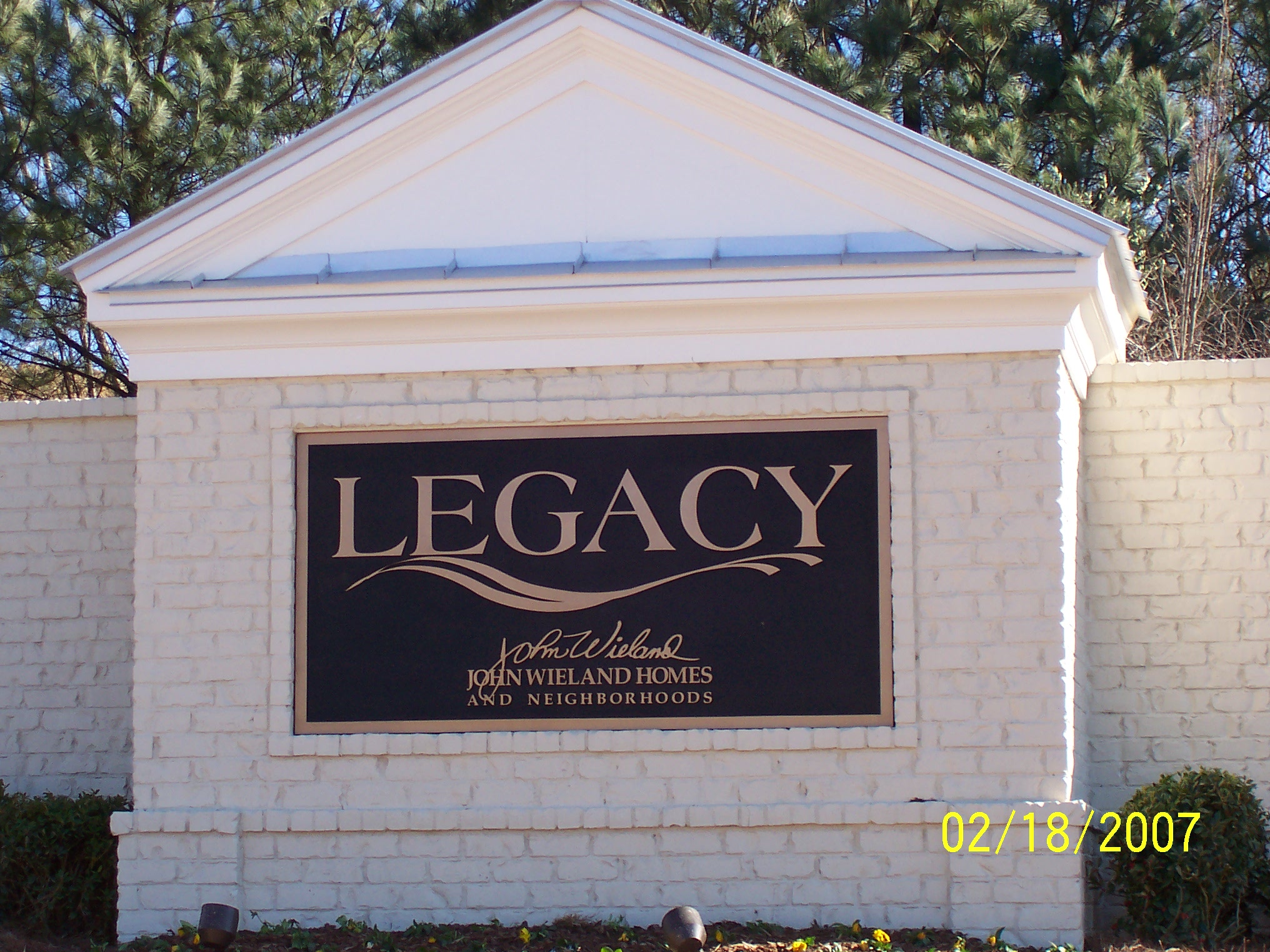
(South) Oakdale Road
- Historic subdivision name
- River Line Historic Area street signs
- RLHA logo featured on entrance monument
- River Line display in club house
Providence Veterans Memorial Hwy. & Queen Mill Road
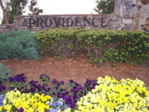
The Providence subdivision is a 145- acre gated housing development located in the Chattahoochee River Line Battlefield. There is a 6 acre parcel containing 2 Civil War Forts and significant trench line deemed worthy of preservation by a professional archaeology survey. Dec 19, 2017 The Cobb County Board of Commissioners approved Pulte's plan to build townhomes on the historically rich 6 acres. Although the military earthworks are shown on the site plan, the lack of surrounding buffers will leave them vulnerable to land disturbance and compromise the interpretive integrity of the historic site. This is a link to the petition requesting the 6 acre historical site be preserved as green space for the community.
